Tuesday, January 03, 2012

Oh Christmas Tree!

Date of hike:  Sun. Dec. 25, 2011      

Weather:  2C, cloudy & overcast; SW wind @ 28km/hr  Windchill:  -4C

Duration of hike:  1 hour 27 minutes  
Section:  11—Main Trail (from parking lot at east end of Windermere Rd. to Highbury Ave.)
Distance:  6.2 km              Cumulative distance:  92.5 km

After what seemed to be a long hiatus since our last hike, we finally hit the trail again on Christmas Day.  A family outdoor expedition is a traditional part of our December 25th plan, and what better opportunity to complete another leg of the trail, with Gillian and Matthew joining us.
 

We drove the very short distance from our home, to the parking lot at the east end of Windermere Road, where it dead ends, and began from there.  This area is well used for a variety of different reasons; people bring their dogs for a walk (sometimes leash-free), walk the looped trail that is there, or cycle/run the maze of paths that branch off in different directions.  These trails and paths are accessible from a few other points out of the Northridge subdivision, and one will always encounter the “locals” taking full advantage of the wilderness paradise in their own back yard.


Kilally Meadows is a designated Environmentally Sensitive Area (ESA), which lies on flood plain land and is therefore not advisable for development.  But that leaves it unspoiled, for all nature enthusiasts to enjoy.  Nonetheless, when trekking through this section, be forewarned that some parts could be under water, or still very soggy if heavy rain has recently fallen.  The late fall and early start to the winter of 2011 has been a wet one and though there wasn’t anything submerged, there were a few muddy areas that we had to tip toe through.
 

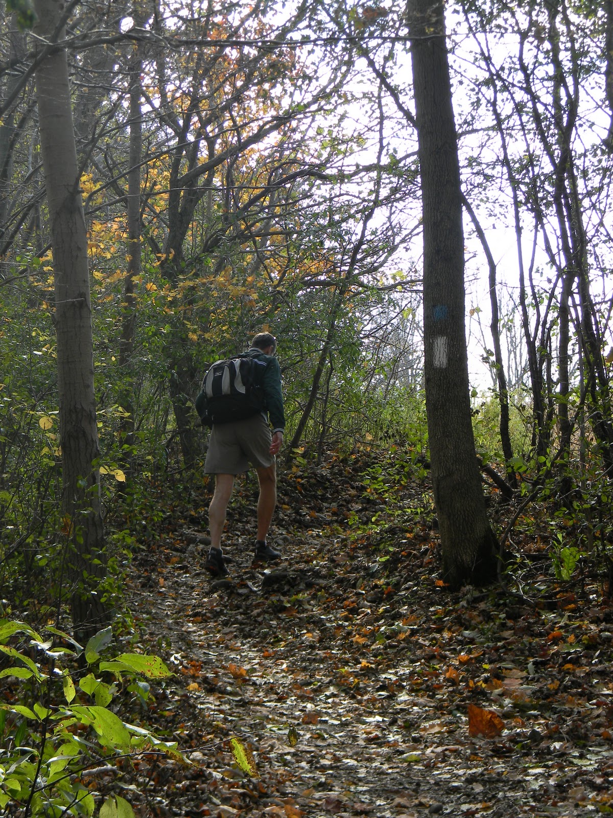
Paul and I have run these trails countless numbers of times; either an out-and-back route on the north side of the river, or looping around and connecting on the bike path that follows the river on the south side (this is part of the Blue Trail of this section).  We could probably navigate our way along with our eyes closed…at least Paul probably could!
A view of the Blue Trail Loop on the south side of the river.
This area has always taken me back to my own memories of playing in a wooded lot/fallow field area that was located just on the outskirts of Chatham, where I grew up, near my childhood home.  My neighbourhood friends and I spent endless hours playing adventure games, hide and seek, and tag, in an area very similar to this.  There’s evidence that this area serves the same purpose for the children who live nearby as well.


Now that we’re hiking in the winter, the scenery has become bleak and especially drab on an overcast and cloudy day.  But there’s still beauty to be discovered—you just have to have a patient eye and see things from a different perspective. 
The turning of the seasons is a wondrous thing, reminding us that everything has a purpose and a cycle to follow.  Right now, the plants and trees that thrive here on warm and sunny days are resting and lying in wait for the spring equinox.

But the evergreens of course, provide a splash of eternal colour.  And, being Christmas Day, it seemed more than appropriate to have a photo by a “Christmas” tree. 


The east end of this leg followed a path, high
up on the bluff, behind some homes.

One homeowner built some steps down from
the bluff and now has a lovely sitting area
with a view!


What every teen age boy does while
hiking with his family! :)
A familiar spot--this tree trunk has two 90
degree bends, providing a handy spot to sit.
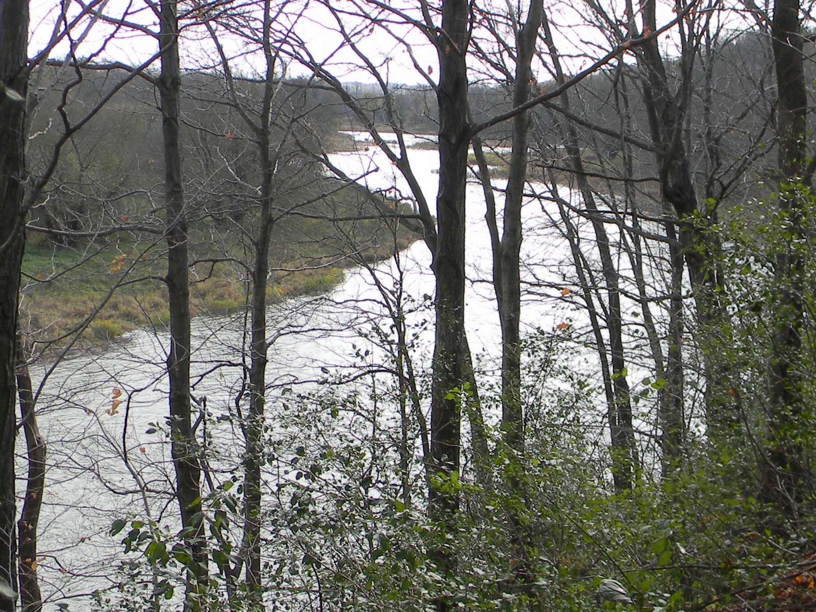
Looking upstream.....


....looking downstream.


Perhaps the next time out, we will need snow boots and not just hiking boots.  Or maybe we’ll even get to try out our new snowshoes that Santa brought us.  If we were doing this last year at this time, then we definitely would need them!  At any rate, we are ready for anything that the seasons throw our way, as we continue on our quest to complete the TV Trail, end and back.

So, with this being our last hike of 2011….see you in 2012!

Saturday, November 26, 2011

Git ‘er Done!

Date of hike:  Sun. Nov. 20, 2011                             

Weather:  8C, cloudy & overcast; NW wind @ 22km/hr
Duration of hike:  1 hour 25 minutes   Section:  11  (from Clarke Rd & Kilally Rd to Highbury Ave entrance into Kilally Meadows)
Distance:  7.2 km              Cumulative distance:  86.3 km
Picking up from where we left off last
time--the turn onto Kilally Rd from
Clarke Rd.
After crossing the Clarke Road bridge over the Thames River, the trail heads west on Kilally Road to Highbury Avenue, well away from the river’s edge.  This is the second time the trail has to follow along roadways, as private land ownership doesn’t permit passage through. 

There are only a few homes built along this stretch, one of them being the very stately property known as “The Spinney”.  This country estate has been here for quite some time and was once the family home of former Ontario Premier David Peterson. 


Unlike Valleyview Road, this section offers few, if any, glimpses of the river along the way, so we had to settle for whatever hidden treasures we could find as we trudged along. 
Tree on the edge of the Spinney--completely bare of
its leaves, providing a stark contrast to the greenery
behind it.

The last of the sumac against the overcast
November sky.
The only real view of the river that we got was the one from the Highbury Avenue bridge.  Looking east, we were surprised to see the small island formation in the river; something we had never noticed before. 

After all, it isn’t easy to see over the bridge’s solid rails as you drive across it in a car.  But there it was, beautiful and completely hidden from the eyes of most people.
Kilally and Highbury--waiting to cross
and continue north on Highbury.

The turn around point--Highbury Avenue
and into Kilally Meadows.
This was the shortest hike we’ve completed to date.  We didn’t do the full distance of this section due to time constraints, but we did complete the least exciting part of it, just to get it done and out of the way.  Next time, when we complete the other part of Section 11, we will actually be able to walk from our home to the starting point, rather than driving in the car.  The trail is now getting closer to our “own backyard”, so to speak, and we will be retracing our steps on paths that we’re very familiar with. 

Sunday, November 20, 2011

Something Old...Something New

Date of hike:  Sun. Nov. 6, 2011                 Weather:  9C, sunny; 15C at completion
Duration of hike (including a lunch stop part-way):  3 hours 22 minutes  
Section:  12  (from Fanshawe Golf Club Parking Lot to Clarke Rd & Kilally Rd)
Distance:  11.2 km            Cumulative distance:  79.1 km
Completing the other half of the trail that passes through Fanshawe Conservation Area on the west side of the river, was a journey through familiar territory as well as a trail blazing experience.  This part of the trail passed through the campgrounds, which was an area both of us have either ran and/or cross country skied on.  Further along, the trail went past the dam and out of the conservation area toward Clarke Road; a section that neither of us had ever been on.
We lucked into another beautiful fall day for a hike.  As we pulled into the Fanshawe Golf Club parking lot, there wasn’t any shortage of golfers doing the same, taking advantage of yet another gift from Mother Nature.  The colours weren’t nearly as pervasive as they were in previous weeks, but there were still some surprises nonetheless.  As well, while we didn’t encounter as many other hikers along the trail, we still saw others enjoying the area and the river itself. 


The National Women’s Rowing Training Centre is located in London and the outdoor basin is located just east of the dam.  Though we didn’t see any future aspiring Olympians out in their shells that day, we did see one or two other boats on the water. 

There were also a couple of canoes paddling down the river. I’m sure the occupants were incredulous of the fact that they were on the water and it was the first week of November!

The campgrounds were deserted as the season had ended in mid-October.  Camping is available on a temporary and full season basis.  By the time we were ready for our lunch, we were passing back through the grounds and found a picnic table that came with a nice view of the water.

 It was obvious that the tenants of this camping spot are regulars as evidenced by some of the things that remained in place, waiting for their return next spring.


While we’ve driven over the dam itself, numerous times, this was the first time we saw it from river’s edge.  Just below the base of the dam, there were several people casting their lines and getting some late season fishing in. 

As we continued west of the dam along the trail, it climbed up high on the bluff.  Some gorgeous panoramas were the reward, complete with some bird’s eye views of some of the rapids along this stretch. 


The walk over the Clarke Road bridge gave us an upstream view of the river, though we had to ignore some of the garbage that had accumulated at the side of the road, compliments of those with little regard for our environment unfortunately.  No need to post pictures of this sort of unpleasantry!  If we were going to abide by the rule of taking out ours and everyone else’s trash, then we could well have used a wheel barrow or two! L

Our turn-around point was the trail blaze indicating the turn onto Kilally Road.  Our next hike will either start from here, or it could be the turn-around coming from the other direction.  Whatever the case, the next section will be a long trek on the road as the trail does not have permission to continue along the river due to private land ownership. 

At any rate, we will be heading into the London city boundaries; a goal that we had made for ourselves as winter approaches.  Once we are back on the actual trail and not on the roadway, we will be in very familiar territory to say the least.  As we forge on, we will be on a part of the trail that we run on, on a regular basis.  And, a lot of the trail will pass through the city’s parks, on paved bike paths.  If winter conditions are such, we may even do a little snow shoe hiking!
Canada Geese enjoying a quiet moment
on Fanshawe Lake.
Heading into the campground area--note
the yellow trail marker on the tree--
this is one of the cross country ski
trails in the Conservation Area.


Though not particularly colourful, this pile of
fallen oak leaves gave a wonderful contrast of
texture and shape.


Not a birch tree, but a tree with
white bark, providing a stark
contrast to the intense blue sky.


 For my daughter Gillian, who loves a good tree
as much as I do!

Saturday, October 29, 2011

Been There....Done That!

Date of hike:  Sun. Oct. 23, 2011      
Section: 12 (from Fanshawe Golf Club parking lot to Thorndale Road)                      
Weather:  12C, sunny; 15C at completion
Duration of hike (including a lunch stop part-way):  3 hours 20 minutes  
Distance:  11.2 km   Cumulative distance:  67.9 km
We’ve hiked, cycled and ran the trails on both sides of Fanshawe Lake so many times, it’s hard to determine an exact number of how many times we’ve been this way before.  This particular stretch from the Fanshawe Golf Club parking lot, at the far east end of Sunningdale Road, has been a regular fixture in our hiking schedule over the years, especially when we wanted to get out with the kids on a brisk fall day. 

The terrain is easy but there’s always something interesting to see along the way.  And today’s leg wasn’t any different, but it was satisfying nonetheless.

The familiarity of our route made the distance pass by quickly and it was like visiting an old friend in some ways.  But today, we seemed to pay closer attention to what we saw as we travelled along. 
We encountered more hikers today, than any other day we’ve been out yet.  With the trail passing through Fanshawe Conservation Area, this section gets a lot of visitors, including mountain bikers who ride the full route around the lake; a distance of 21km.  Several times, we had to step aside and let a few cyclists pass.  And we really had to keep our heads up when we were returning, because now the bikers were coming from behind us.  Being an odd numbered date (the 23rd), they are supposed to follow a counter-clockwise direction around.  But they always gave us fair warning and it was never a problem....a good example of how we can all share the “road”.
The Fanshawe Conservation Area came into being after the completion of the dam in 1952.  The devastating flood of 1937 brought about the need for its construction.  With the creation of the lake, came a recreation area that people have been enjoying for nearly 60 years now. 


We hiked north from our starting point, back to Thorndale Road, which was also our turn around on our last outing.  For this post, I’m going to let the pictures tell the story for this leg.
Most of the trail along this section is high up on a
bluff.  I wanted to get a shot of the river and its
bank, so I climbed down for a better view.
And here I am, perched on a tree
stump, at the edge of a bluff,
overlooking the river.
At one point, as we walked along, we heard a big
splash and wondered what on earth it was!  When
we looked down, we saw a buck, swimming across
the river!
Here he is getting out on the other side.

And there he goes!
Water levels were high on this day.  We
had to wade across this creek in order to
continue on to the other side.
Here we are at the turn around point at
Thorndale Road--the same turn around
as our last outing, just from the
opposite direction.
Heading back...climbing back up a
bluff after being at water's edge.
Where we stopped for lunch.  We've used this picnic
table many times in the past for the same purpose.
It's a great spot, high up, with a view.


Looking north, upstream.
Looking south, downstream.
The sun was shimmering off of
Fanshawe Lake....brilliant!
Not much colour left in the landscape,
but this tree still had much of its green
and hadn't lost many of its leaves either!
With so many others on the trail that day, hikers and
cyclists, it wasn't difficult to get someone to take
our picture.
This is the tree that we'll start our next
leg from.  It's at the south end of the
golf course parking lot.