Date of hike: Sun. Feb. 5, 2012
Duration of hike: 3 hours 17 minutes (including 15 min stop for lunch)
Distance: 13.4 km Cumulative distance: 119.5 km

Being February, one might think we would be making our way along snow covered paths. But spring-like weather conditions have prevailed this winter, so all that was needed were some sturdy hiking shoes. With good footing and paved bike paths for most of the way, we were able to maintain a quick pace on this trek.
 That also emphasizes the fact that this section of the trail makes it easier for individuals who may have mobility challenges, to get out and enjoy the outdoors.

London was settled in 1793, when Governor John Graves Simcoe chose the forks of the Thames as the capital of Ontario. The vantage point of the branches of the Thames offered military security in those early days.
For example, you can see Eldon House, London’s oldest residence, and the original Middlesex County court house from the trail, as they are perched on the bluff above the river at the Forks. The court house was built in 1827 and is believed to be modelled after Malahide Castle near Dublin Ireland.
The most devastating effects of the flood of 1937 were felt in the heart of the city. Consequently, these dykes were built along the river’s edge to protect residences from any further possible damage in the future.


This modern foot bridge was built as a permanent structure to allow the river to be crossed in Gibbons Park.
The trail passes behind the London Children’s Museum, a popular destination for families with young children. It’s housed in an old majestic elementary school, of days gone by.
At the railway underpass, near the entrance to the Terry Fox Parkway/Greenway Park, a memorial plaque pays tribute to local artist Greg Curnoe. An avid cyclist as well, he was tragically killed when hit by a truck while out riding.

The Thames Valley Trail follows the Terry Fox Parkway, which serves as London’s site for the annual fundraising run, in honour of one of Canada’s greatest heroes.
The Victoria Day Boat Disaster of 1881 is a sad note in London’s history. Every time I have walked, cycled, or ran past this historic plaque, I can’t help but imagine the horrific scene and loss of life that transpired on that dark day.

Further downriver, the trail passes beneath the Guy Lombardo bridge. One of London’s most famous citizens, when he wasn’t abroad conducting his orchestra, he often performed at the band shell that once stood at the river’s edge in this area.
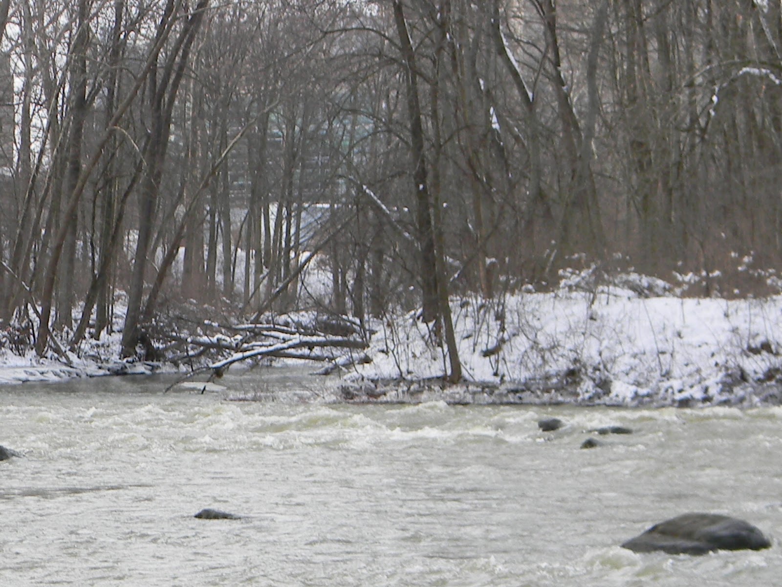
In addition to the significant historical sites, this part of the trail still offered a glimpse of nature, even on this bleak mid-winter day.
One fly fisherman was taking advantage of the mild temperatures to practice his casting.

I’ve always admired the symmetry of these trees, located along the Terry Fox Parkway.

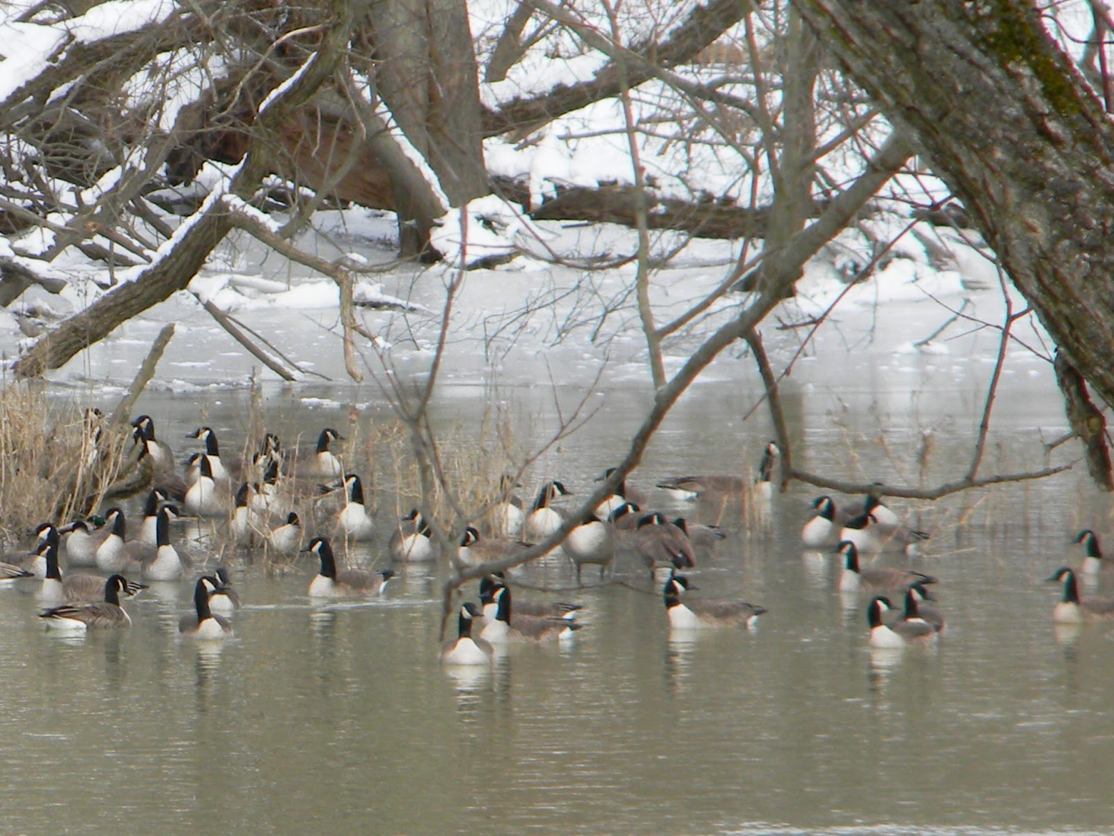
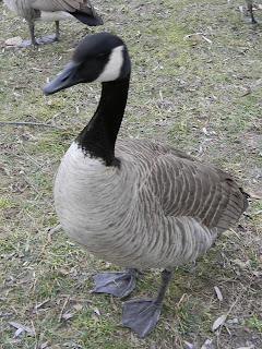
Canada Geese and ducks abound along the river’s edge. This gaggle was found trimming the grass in Gibbons Park…please don’t feed the wildlife…no matter how they may protest!


As the trail has made its way through the city, it has offered something different for the hiker.

Weather: +1C, cloudy and overcast, slight W wind (at start); +3C (at end)
Duration of hike: 3 hours 17 minutes (including 15 min stop for lunch)
Section: 9—from Victoria St. parking lot at Gibbons Park and
8—continuing from the entrance to Greenway Park to parking lot at Springbank Gardens Community Centre on Wonderland RoadDistance: 13.4 km Cumulative distance: 119.5 km

Being February, one might think we would be making our way along snow covered paths. But spring-like weather conditions have prevailed this winter, so all that was needed were some sturdy hiking shoes. With good footing and paved bike paths for most of the way, we were able to maintain a quick pace on this trek.
 That also emphasizes the fact that this section of the trail makes it easier for individuals who may have mobility challenges, to get out and enjoy the outdoors.
When we first moved to London 30 years ago, many of these bike paths did not exist. Over the years, the city planners have developed quite an extensive bike path system that follows designated routes through the city streets as well as these scenic trails along the waterways.


London was settled in 1793, when Governor John Graves Simcoe chose the forks of the Thames as the capital of Ontario. The vantage point of the branches of the Thames offered military security in those early days.
 |
| The Forks of the Thames River--looking straight ahead, the north branch--to the bottom right is the south branch--to the left, is the main branch that flows southwest to eventually empty into Lake St. Clair. |
Consequently much of London’s history lies along the banks of the Thames, as it flows through London. Though Toronto ultimately became the provincial capital, history buffs can find many interesting sites to see, spanning a broad range of time.
For example, you can see Eldon House, London’s oldest residence, and the original Middlesex County court house from the trail, as they are perched on the bluff above the river at the Forks. The court house was built in 1827 and is believed to be modelled after Malahide Castle near Dublin Ireland.
Across the river from Eldon House is Labatt Memorial Park, believed to be the oldest and still used baseball park in the world. Built in 1877, it was recently voted as Canada’s Favourite Ball Park.
The most devastating effects of the flood of 1937 were felt in the heart of the city. Consequently, these dykes were built along the river’s edge to protect residences from any further possible damage in the future.

 |
| This marker under the Queens Avenue bridge, indicates the crest of the river during the flood of 1937. |
Blackfriars Bridge is London’s oldest bridge; built in 1875 and reinforced many times, it still handles vehicular traffic over it.
 |
| Blackfriars Bridge--looking west--you can also see the dykes that are built on the west shore line. |
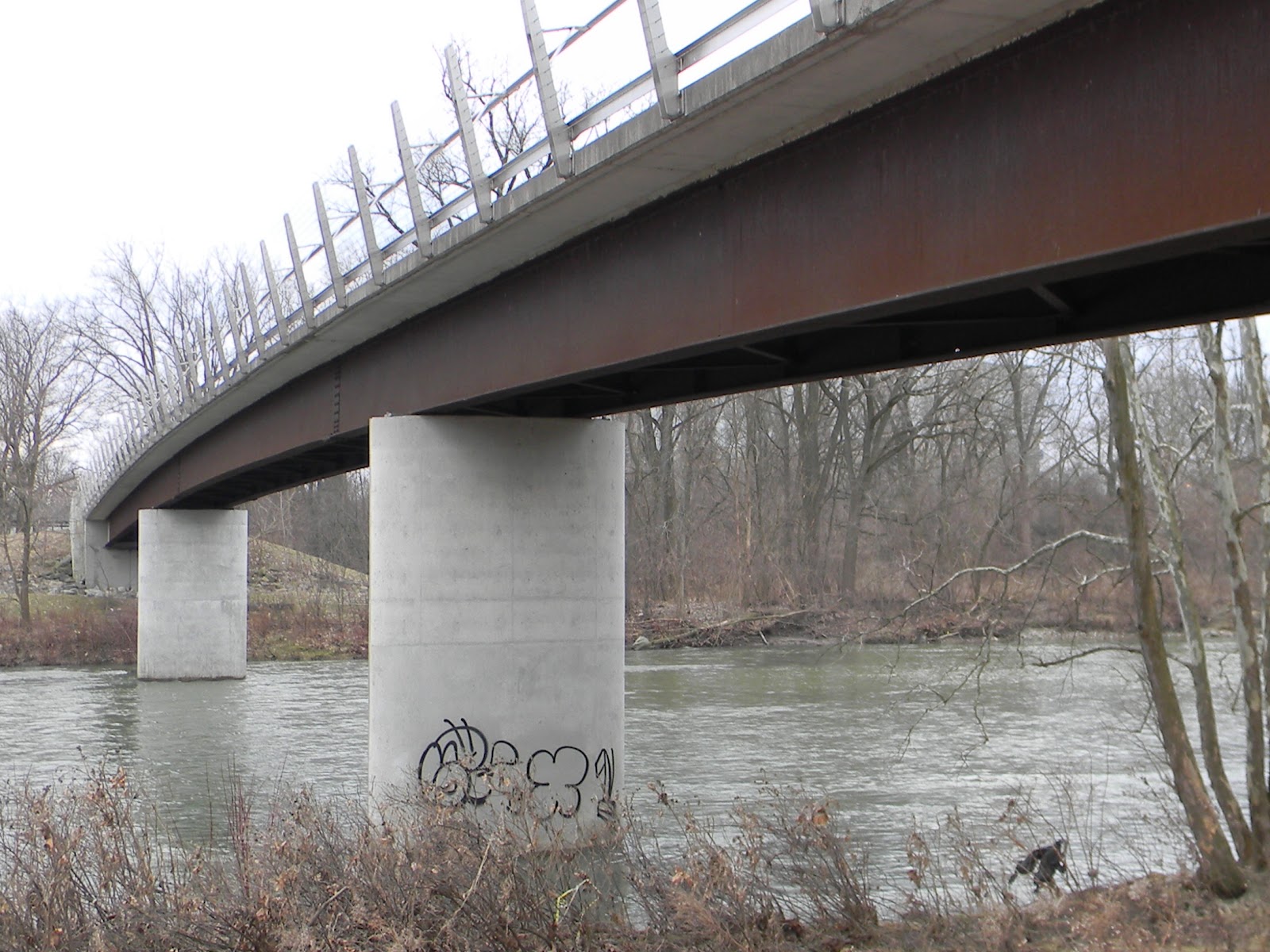
The King Street Bridge had previously accommodated vehicles but now serves as a pedestrian foot bridge, providing a valuable link for foot and cycle traffic of all kinds.


This modern foot bridge was built as a permanent structure to allow the river to be crossed in Gibbons Park.
The trail passes behind the London Children’s Museum, a popular destination for families with young children. It’s housed in an old majestic elementary school, of days gone by.
At the railway underpass, near the entrance to the Terry Fox Parkway/Greenway Park, a memorial plaque pays tribute to local artist Greg Curnoe. An avid cyclist as well, he was tragically killed when hit by a truck while out riding.

The Thames Valley Trail follows the Terry Fox Parkway, which serves as London’s site for the annual fundraising run, in honour of one of Canada’s greatest heroes.
The Victoria Day Boat Disaster of 1881 is a sad note in London’s history. Every time I have walked, cycled, or ran past this historic plaque, I can’t help but imagine the horrific scene and loss of life that transpired on that dark day.

Further downriver, the trail passes beneath the Guy Lombardo bridge. One of London’s most famous citizens, when he wasn’t abroad conducting his orchestra, he often performed at the band shell that once stood at the river’s edge in this area.
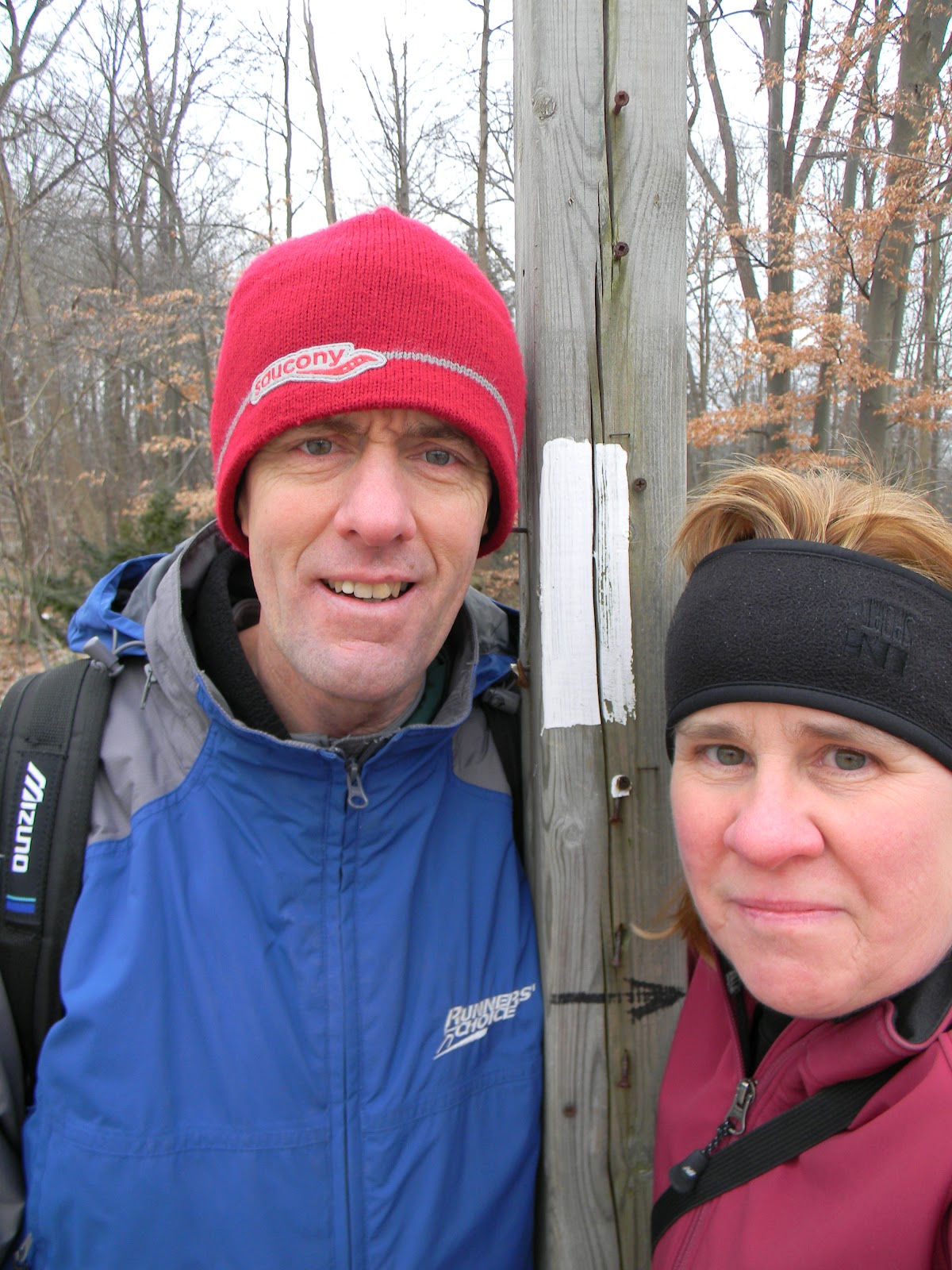 |
| At the turn around point at the Springbank Gardens Community Centre. |
One fly fisherman was taking advantage of the mild temperatures to practice his casting.


We spotted a hawk, looking for a tasty morsel or two, perched high above us.
I’ve always admired the symmetry of these trees, located along the Terry Fox Parkway.

Located just south of the trail, about mid-way along the Terry Fox Parkway, one can see the ponds of the Coves of the Thames River; an interesting geographical formation of
the river known as an “oxbow”.

Canada Geese and ducks abound along the river’s edge. This gaggle was found trimming the grass in Gibbons Park…please don’t feed the wildlife…no matter how they may protest!


As the trail has made its way through the city, it has offered something different for the hiker.
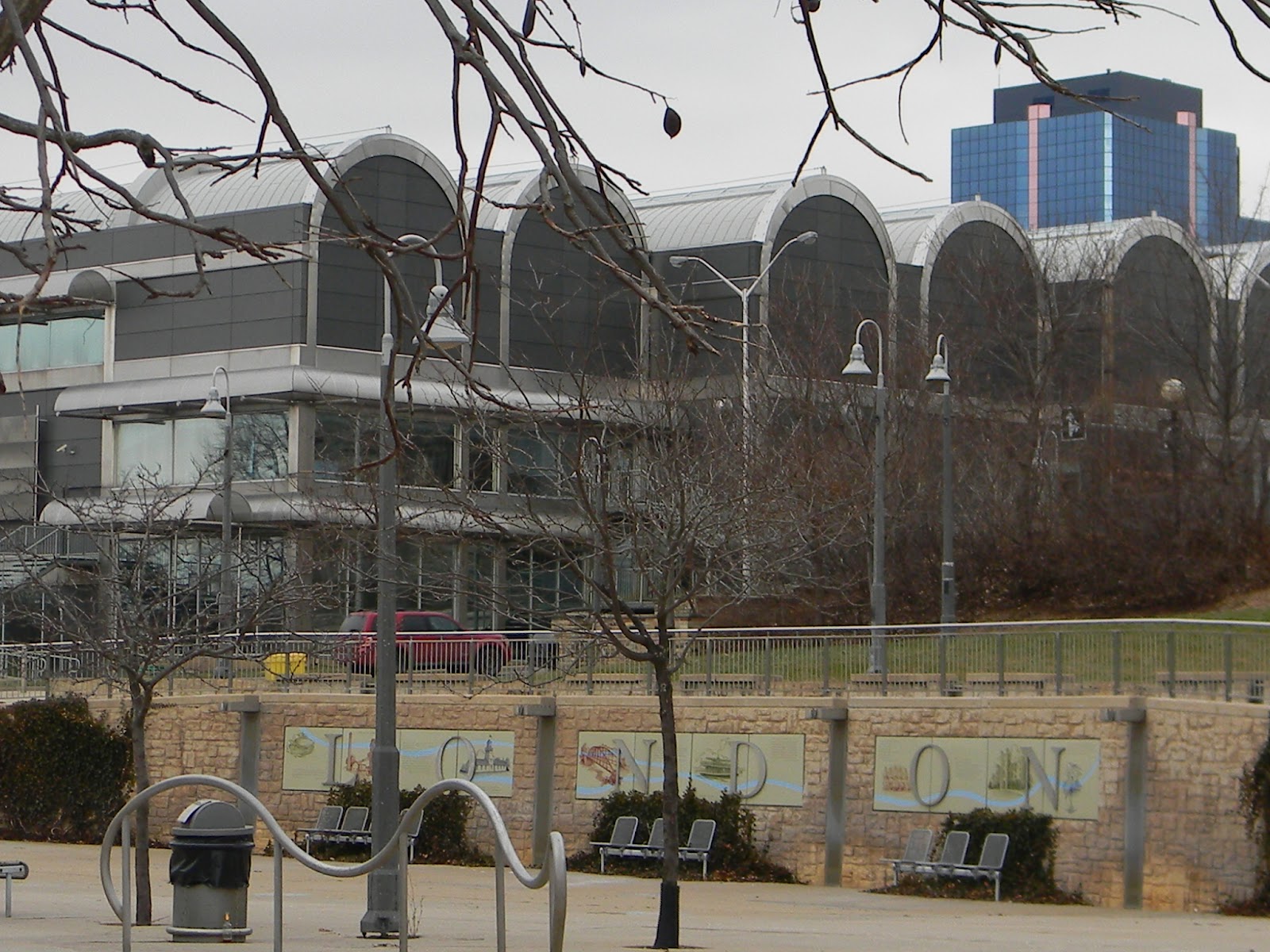 |
| At the Forks...children's splash pad in foreground, London Regional Art Museum and skyline in background. |
 |
| The London city skyline, with its main thoroughfare bridges leading into the downtown core. |
 |
| There is extensive evidence of some very busy beavers along much of this section of the trail--right in the heart of the city! |
From a complete rural and wilderness setting to an urban blend with nature on the side; we’re reminded that one existed before the other, but must find a way to co-habitate in a harmonious way.